Cherokee Triangle Real Estate Guide
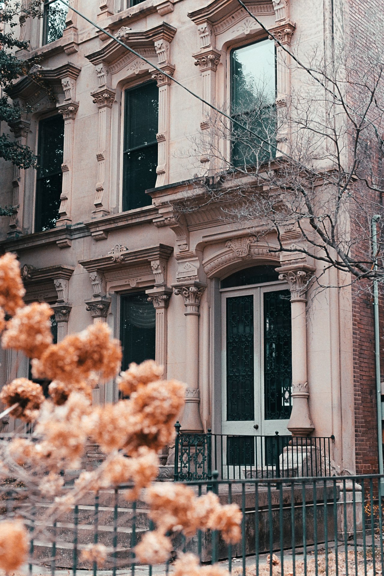
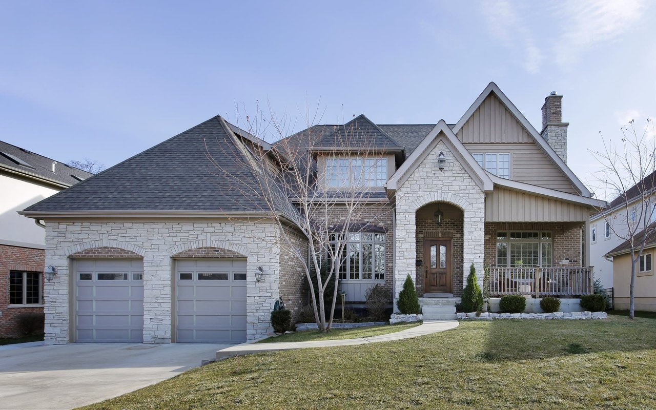
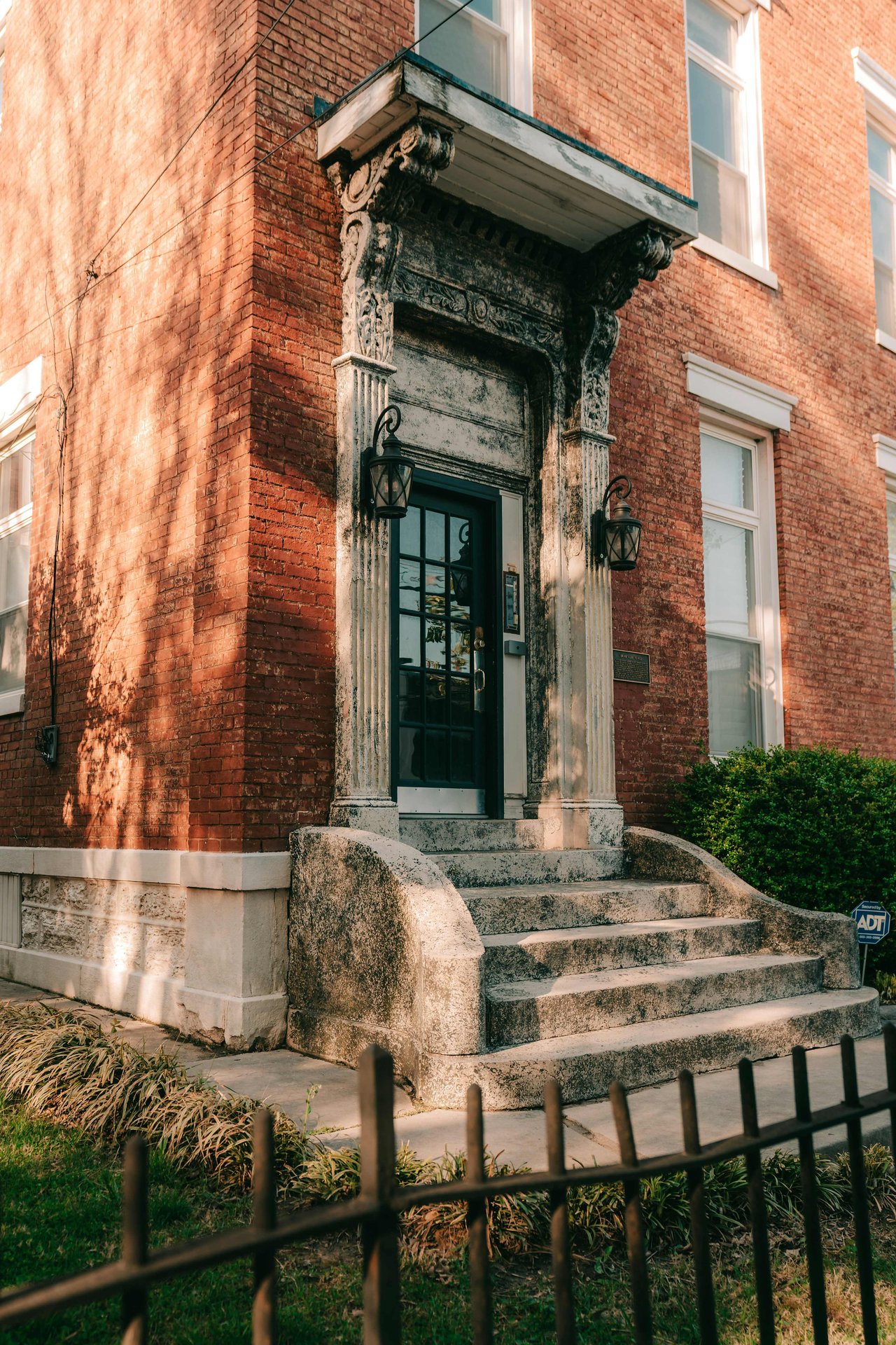
Cherokee Triangle real estate places you in one of Louisville's most historically significant neighborhoods, where 75% of the homes predate 1939 and Frederick Law Olmsted's Cherokee Park anchors the community. Bounded by Bardstown Road, Cherokee Road, and Grinstead Drive, this preservation district has been attracting buyers since the 1870s.
What to Love About Cherokee Triangle
- One of the highest concentrations of historic homes in the United States (75.9% built before 1939)
- Direct access to Cherokee Park, a 409-acre Olmsted-designed park
- The annual Cherokee Triangle Art Fair, now in its 54th year
- Walkable to Bardstown Road's restaurants, bars, and shops
- Designated preservation district since 1975
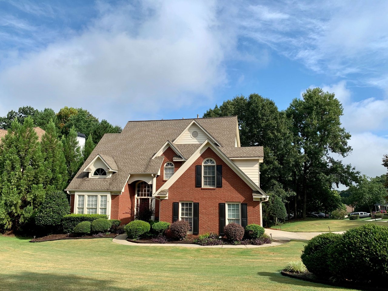
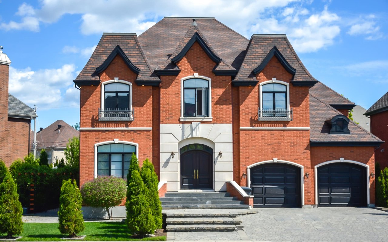
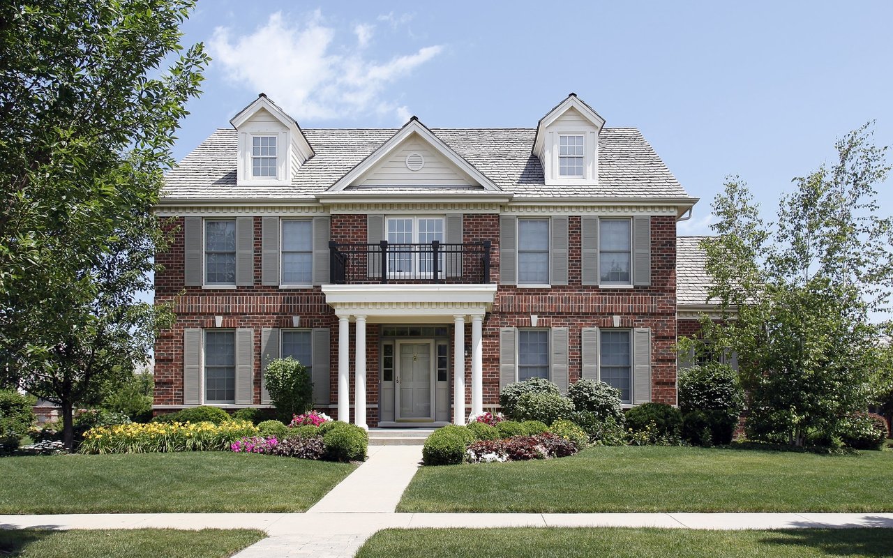
- Architectural styles spanning Queen Anne, Colonial Revival, Tudor, and Craftsman
- Active neighborhood association with year-round events
Real Estate and Homes
The Cherokee Triangle's history starts in the late 1860s, when developers James Henning and Joshua Speed purchased 130 acres and subdivided them into residential lots. The first home was completed in 1871 at the corner of what is now Grinstead Drive and Cherokee Road, built as a wedding gift for Henning's daughter.
Development paused during the Panic of 1873 but surged after Cherokee Park opened in 1891. Wealthy families built homes here to be near the park, and the neighborhood quickly filled with the architectural styles of the era.
Architectural styles found in Cherokee Triangle:
- Queen Anne
- Colonial Revival
- Tudor Revival
- Craftsman
- Georgian Revival
The Cherokee Triangle Association formed in 1962 to protect the neighborhood's character, and the area became a preservation district in 1975. This means exterior modifications are reviewed to maintain historical consistency, which has kept the neighborhood's look remarkably intact.
Local Tip: The tree-lined stretch of Cherokee Parkway between Willow Avenue and Cherokee Road is one of Louisville's most beautiful residential streets, and it's where the Art Fair takes place every April.
Lifestyle and Local Highlights
Cherokee Park is the neighborhood's crown jewel. The 409-acre park designed by Frederick Law Olmsted features the popular 2.4-mile Scenic Loop, athletic fields, playgrounds, and Hogan's Fountain. It's used daily by walkers, runners, and cyclists.
The Cherokee Triangle Art Fair, held the weekend before the Kentucky Derby, features over 200 artist booths, food vendors, live music, and a children's parade. It's one of Louisville's most anticipated spring events.
Bardstown Road, which forms the western boundary of the Triangle, is Louisville's signature commercial strip. Restaurants, bars, boutiques, and galleries line the street for blocks. The Highlands neighborhood continues south along Bardstown Road with even more options.
Cherokee Gardens/Alta Vista Rd lies just to the east, and Crescent Hill is a short drive north. The neighborhood's central location makes downtown Louisville about 10 minutes away.
Frequently Asked Questions About Cherokee Triangle
Is Cherokee Triangle a historic district?
Yes. It's been a designated preservation district since 1975. Over 75% of homes were built before 1939, making it one of the most concentrated historic residential neighborhoods in the country.
What is Cherokee Park?
Cherokee Park is a 409-acre park designed by Frederick Law Olmsted, the designer of Central Park in New York. It features a 2.4-mile Scenic Loop, athletic facilities, playgrounds, and extensive green space.
Can I walk to restaurants and shops from Cherokee Triangle?
Absolutely. Bardstown Road forms the western edge of the neighborhood and is one of Louisville's best streets for dining, shopping, and nightlife. It's one of the most walkable neighborhoods in the city.
What is the Cherokee Triangle Art Fair?
Now in its 54th year, the Art Fair is held the weekend before Derby on Cherokee Parkway. It features 200+ juried artist booths, a children's parade, food vendors, and live music. Admission is free.
What are the rules for renovating in the preservation district?
Interior changes have no restrictions. Exterior modifications require review by the preservation committee to ensure they're consistent with the neighborhood's historic character.
How close is Cherokee Triangle to downtown Louisville?
About 10 minutes by car. The neighborhood's central location also puts you close to the Highlands, NuLu, and St. Matthews.